ORISE Fellow · USDA-ARS

DUC TRAN

Still finding the right path for my life.
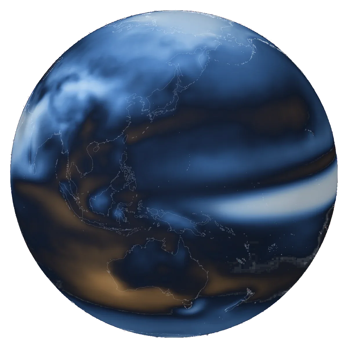
  • Change in annual mean precipitation at 4 °C of global warming above 1850–1900, CMIP6 multi-model mean (IPCC AR6, Figure SPM.5): blue is wetter, sand is drier.

    Climate

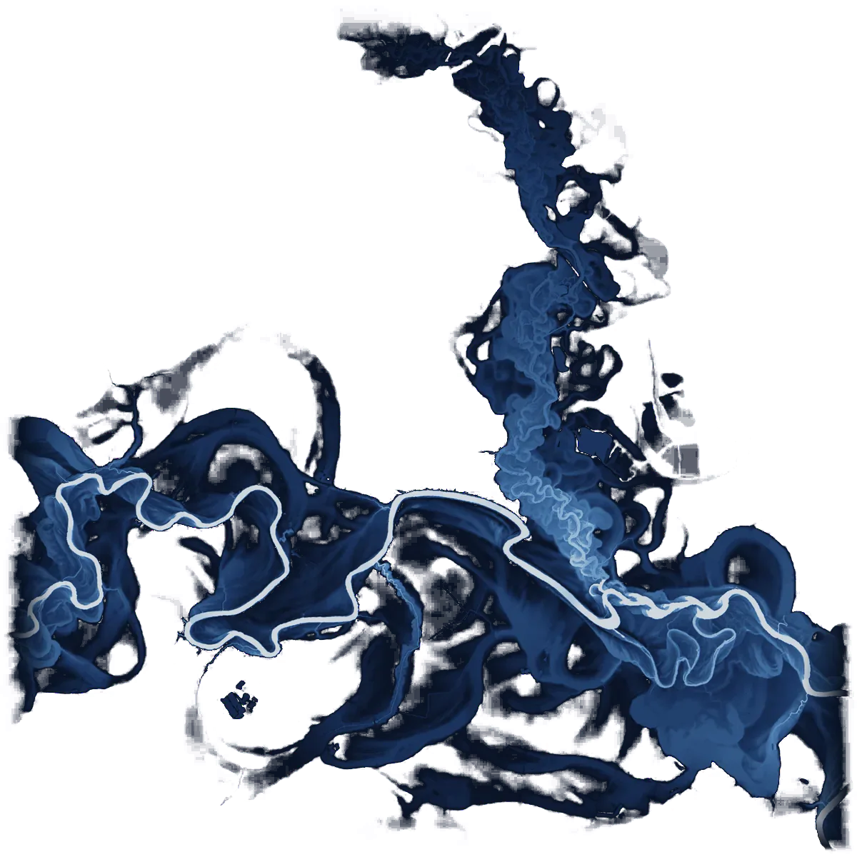
  • The Tar River floodplain in North Carolina, shaded by height above the river from 2020 USGS 3DEP lidar; old channels curl around the river.

    Hydrology

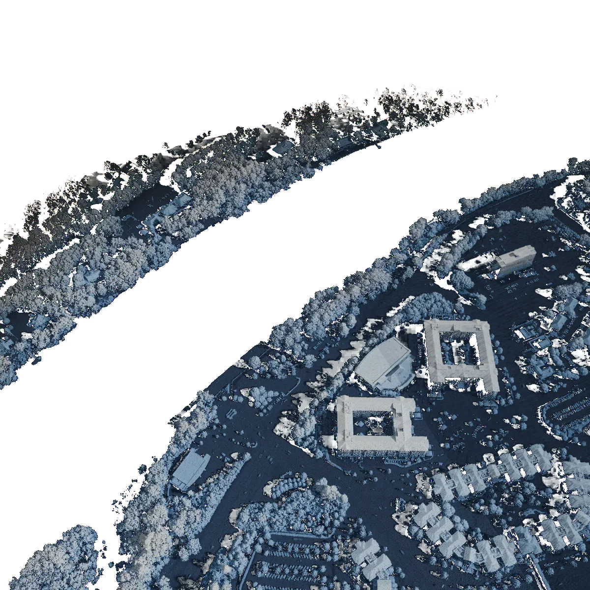
  • 2022 USGS 3DEP lidar points beside the Black Warrior River in Tuscaloosa, Alabama, coloured by height above ground; the river returns no laser pulses and stays dark.

    Remote Sensing

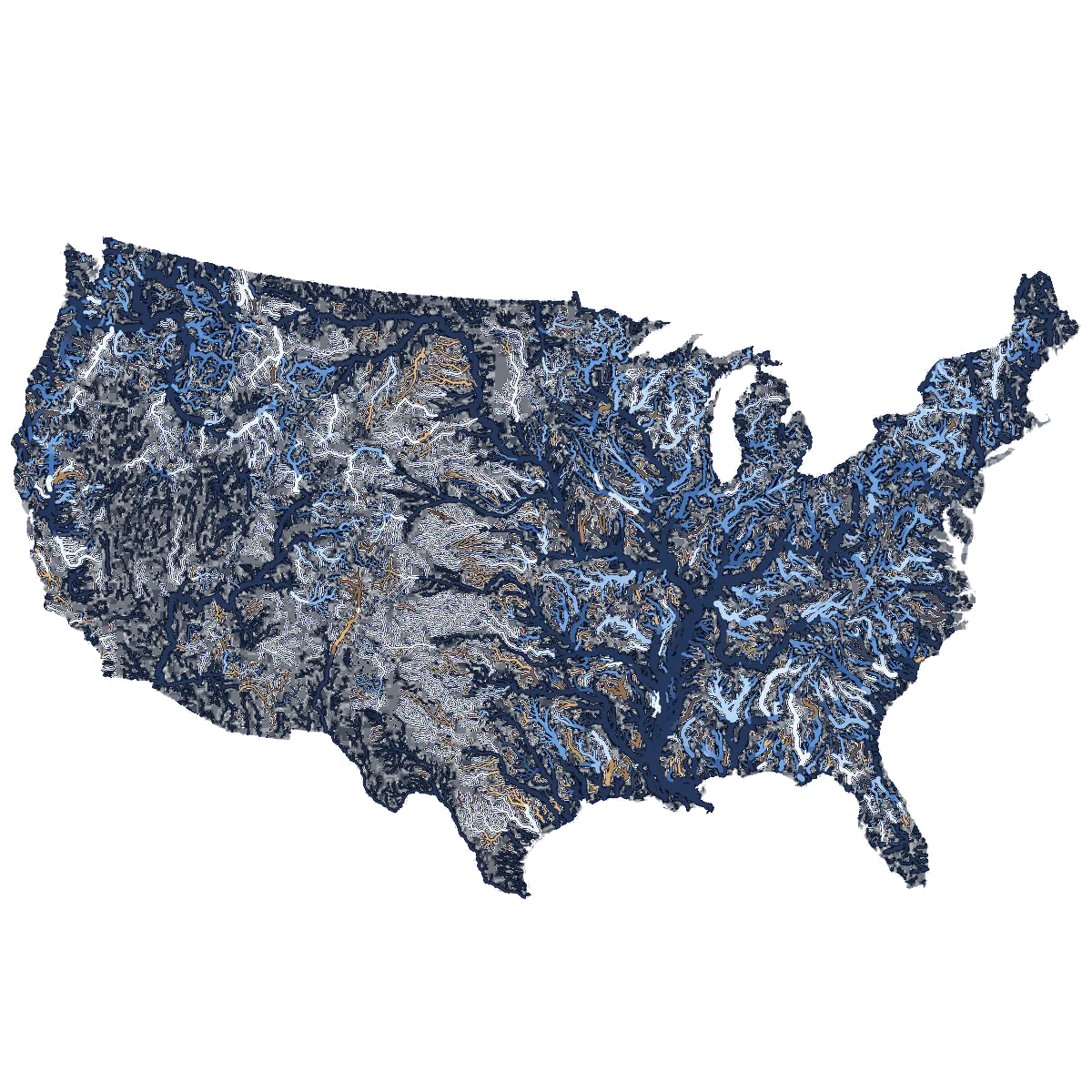
  • The rivers of the contiguous US, each branch coloured by how much ErrorCastNet improves the National Water Model's 1-day flood forecasts at the USGS gauge just downstream (change in KGE, 4,497 gauges; Tran et al., 2025; HydroRIVERS rivers): bright blue is a large gain, sand is a loss, dim branches have no gauge.

    AI & ML

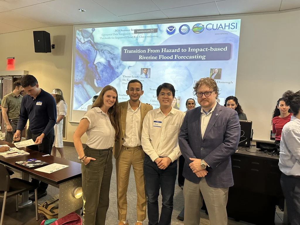
Duc Tran with colleagues at the 2024 Summer Institute of the NOAA National Water Center

National Flood Forecasting

Supporting U.S. National Water Model to improve future flood forecasting up to 30 days in advance

2024 Summer Institute, NOAA National Water Center, Alabama
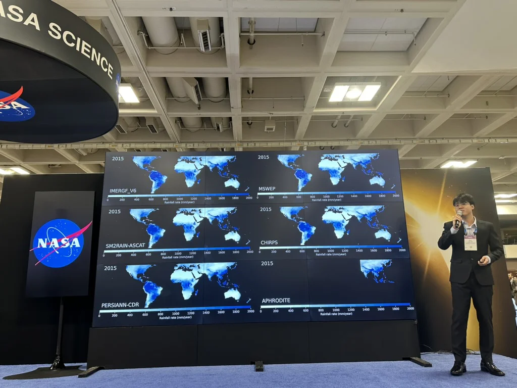
Duc Tran presenting global rainfall maps on a NASA display wall

Data Analysis

Advancing computational methods for climate and water resource modeling

Michael H. Freilich Student Visualization Competition, NASA Science, San Francisco

SONTINHLOTUSnet

Whitesburg, Kentucky

SONTINHLOTUSnet

Buffalo Bayou, Houston

© 2026 Duc Tran. All rights reservedvisitors